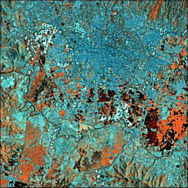
Bandung Image |

| Projection System | |
| UTM | Zone 48 (South of Equator) |
| Spheroid: WGS84 | |
| Datum: Indo_G (Jakarta) | |
| UTM Zone No: 48 South | |
| Easting | Northing | |
| Upper Left | 777,178.20 metres E | 9,234,074.08 metres N |
| Bottom Right | 789,242.04 metres E | 9,221,644.98 metres N |
| Longitude | Latitude | |
| Upper Left | 107° : 30' : 33.16" E | 6° :55' : 19.3" S |
| Bottom Right | 107° : 36' : 26.34" E | 7° : 02' : 08.21" S |
| Elevation: | 664.0 to 753.0 metres above sea level | |